Section 4 - Summerland
Google Maps Directions
https://www.google.ca/maps/d/u/0/edit?mid=1VI5dcqG3N-fDMLKPveex1GrVvY3B3juY&usp=sharing
(downloads to your Google Maps saved maps folder)
Trail Section Description
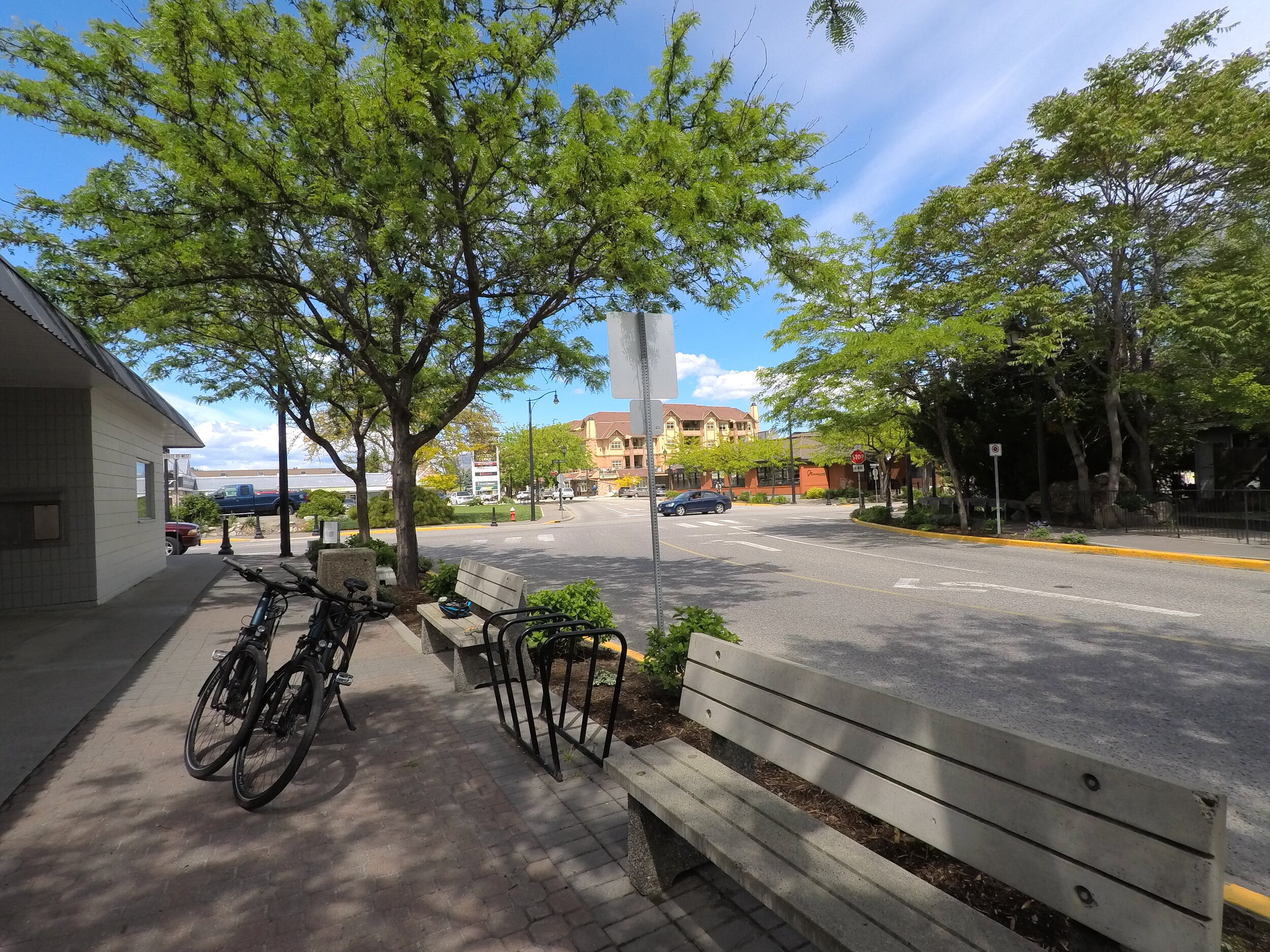
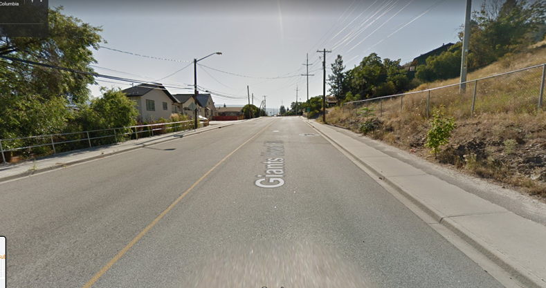
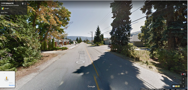
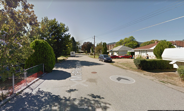
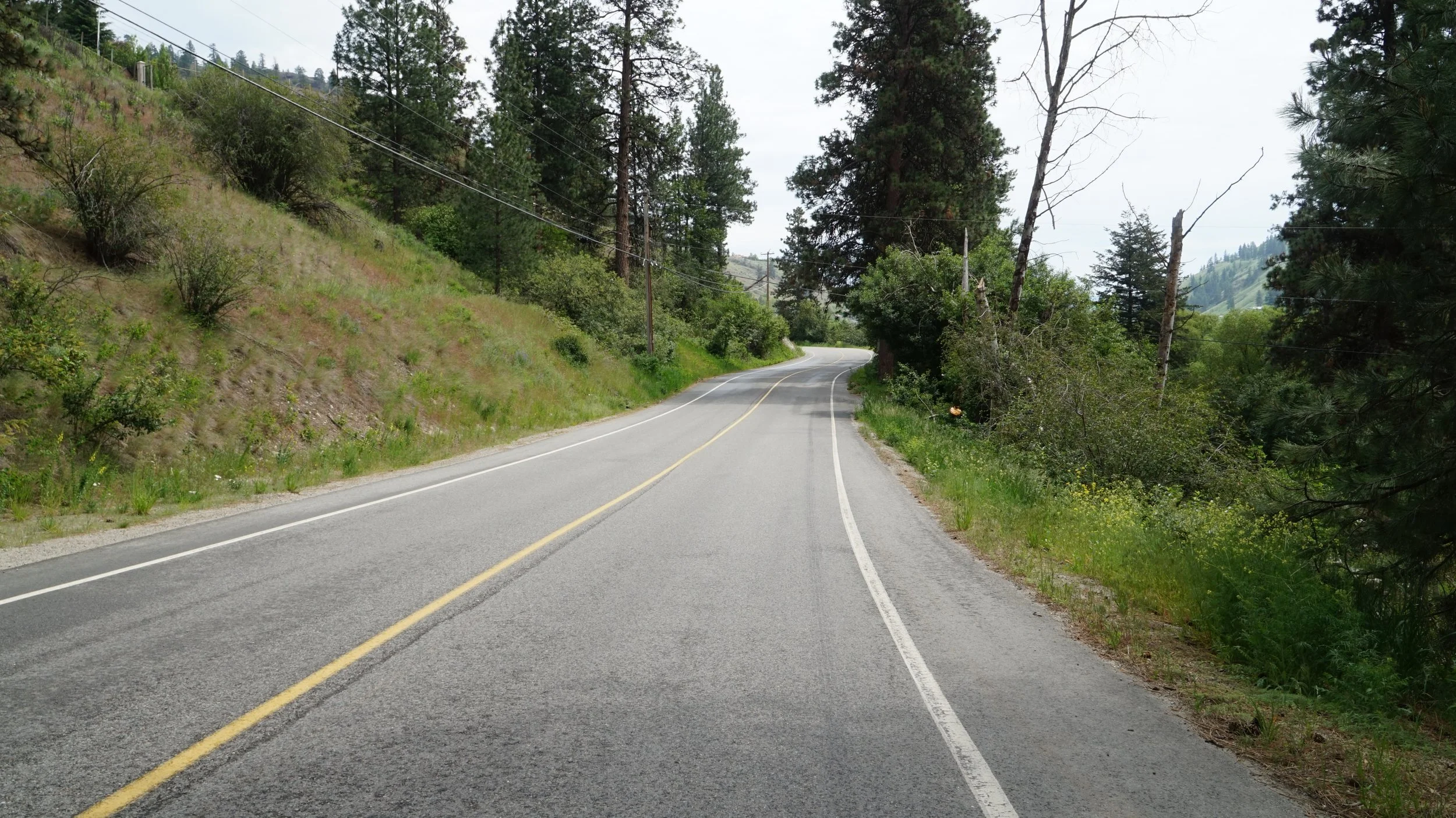
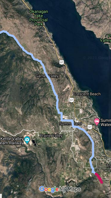
The north end of the Summerland Section of the Trail of the Okanagans is at the Fur Brigade Trail Priest Camp on the shores of Garnett Lake. The route then heads south along Garnett Valley Road, first well maintained gravel, then a quiet paved Garnett Valley Road joining Quinpool Road near the town centre of Summerland (13 km). The Trail of the Okanagans preferred route through Summerland follows Quinpool to McPherson, to Rand, then Kelly. This route connects the Middle School to library and Memorial Park. From there follow Wharton Street to Prairie Valley Road and then Giants Head Road. Then a short section on Hillborne and Canyon View Road brings one to the KVR Trestle and Gap 5 heading potentially south to Penticton. The route through Summerland accesses downtown shops, wineries and Summerland Sweets! The Penticton Indian Band has asked the public to not use the KVR from the trestle to Penticton due to safety and jurisdictional issues. Click here for more on Gap 5 as it becomes available!
Our Actions: Trail of the Okanagans Society has met with the District of Summerland Mayor and council and staff a number of times in 2021 to explore opportunities for the trail route and active transportation planning within Summerland.
Section Length: 19 km Trail Type: well maintained gravel and secondary paved roads.