Section 3 - Peachland
Trail Section Description
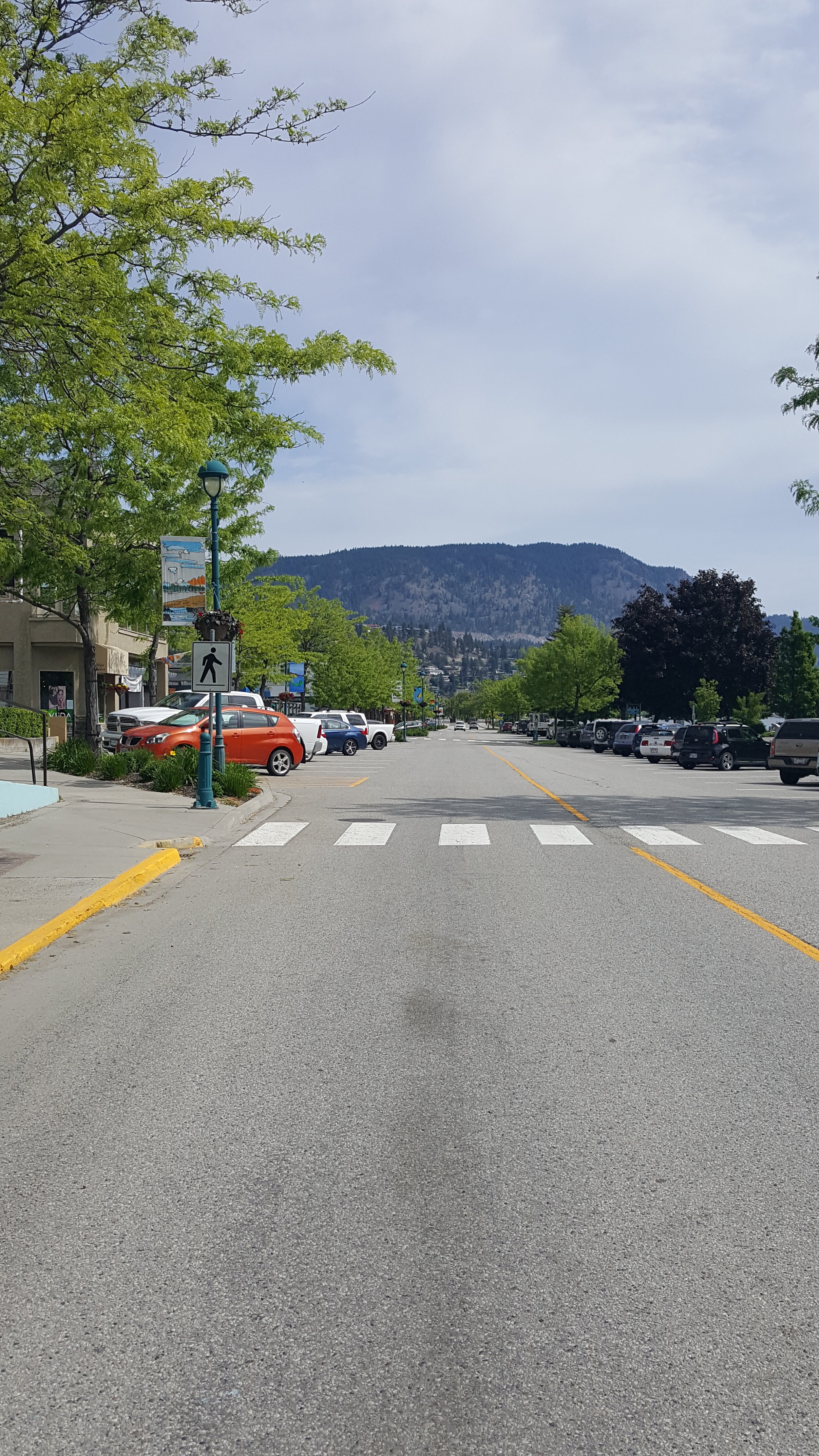
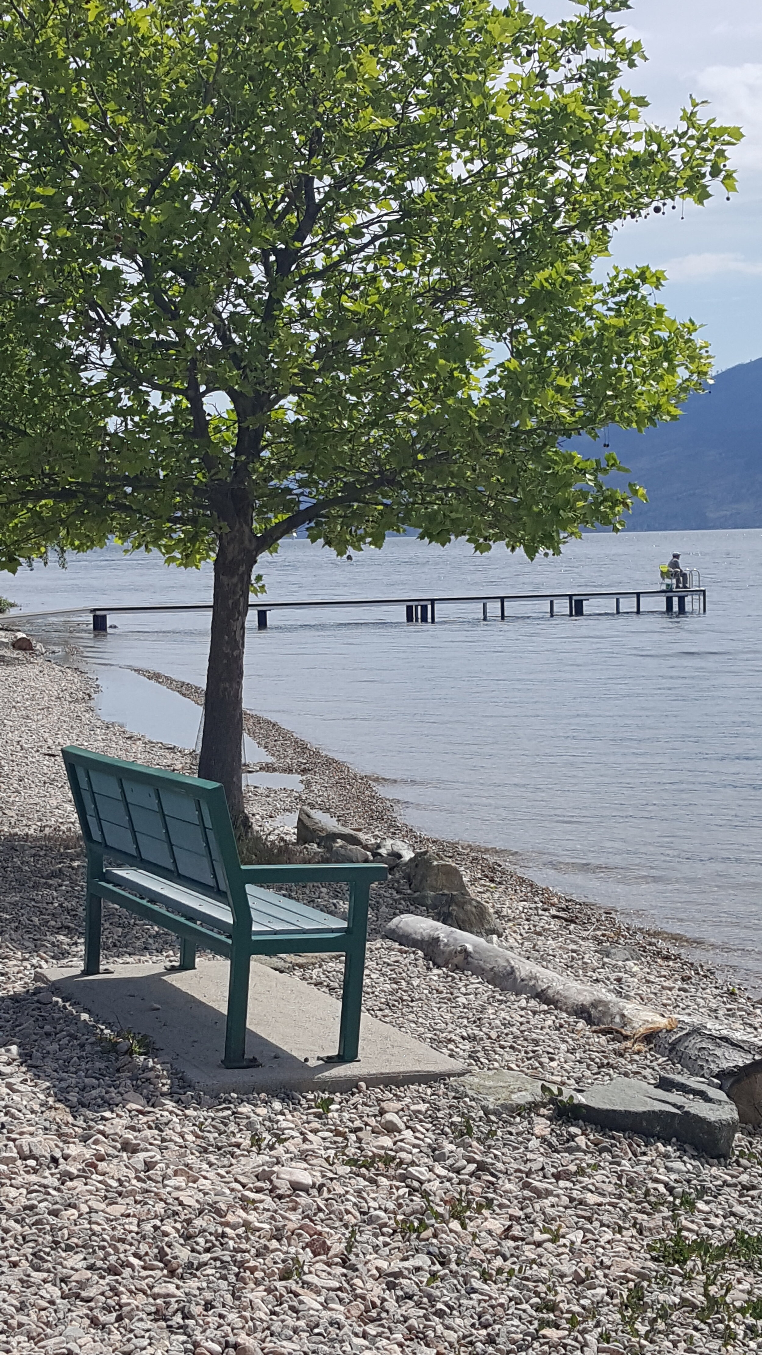
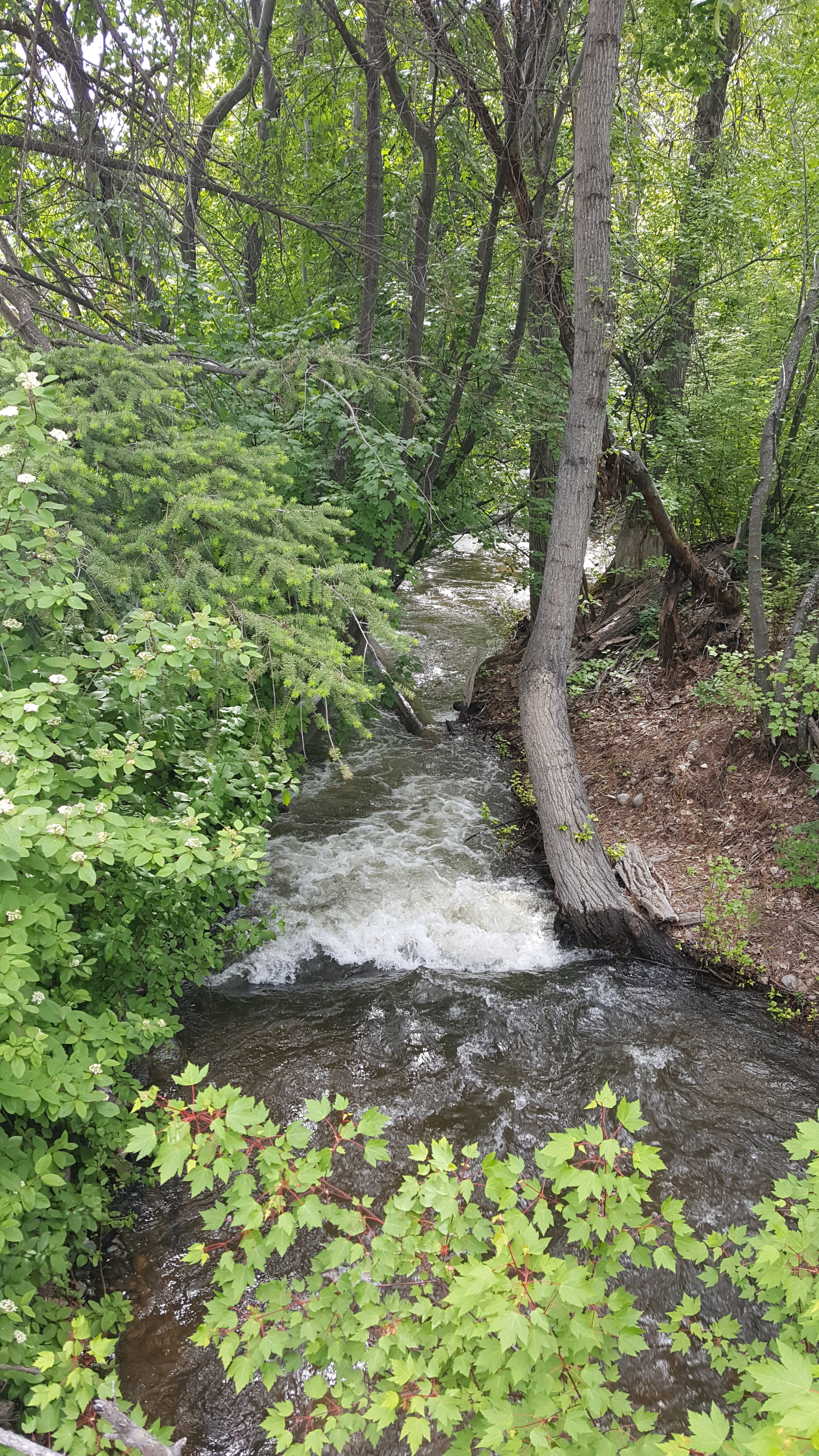
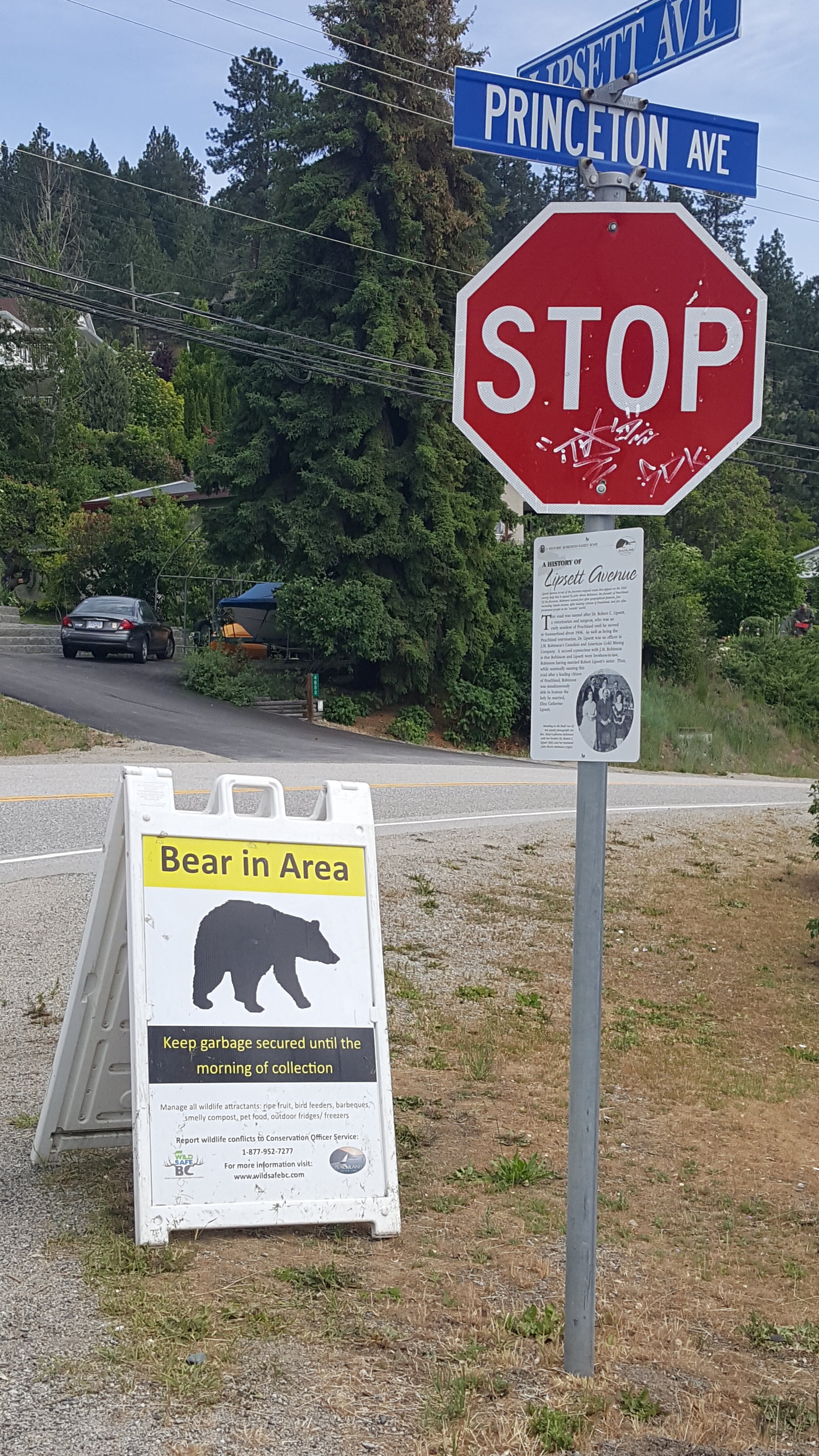
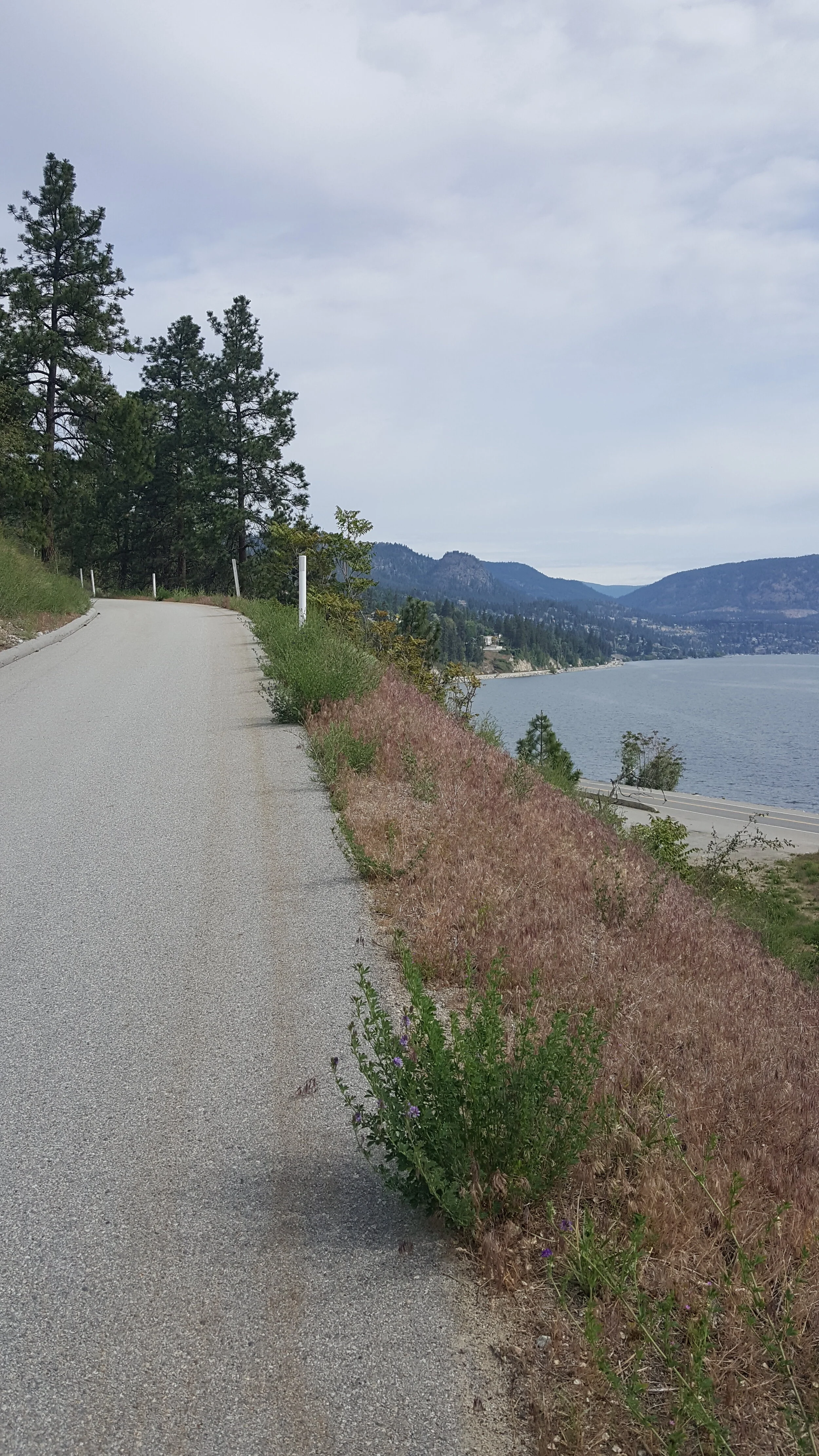
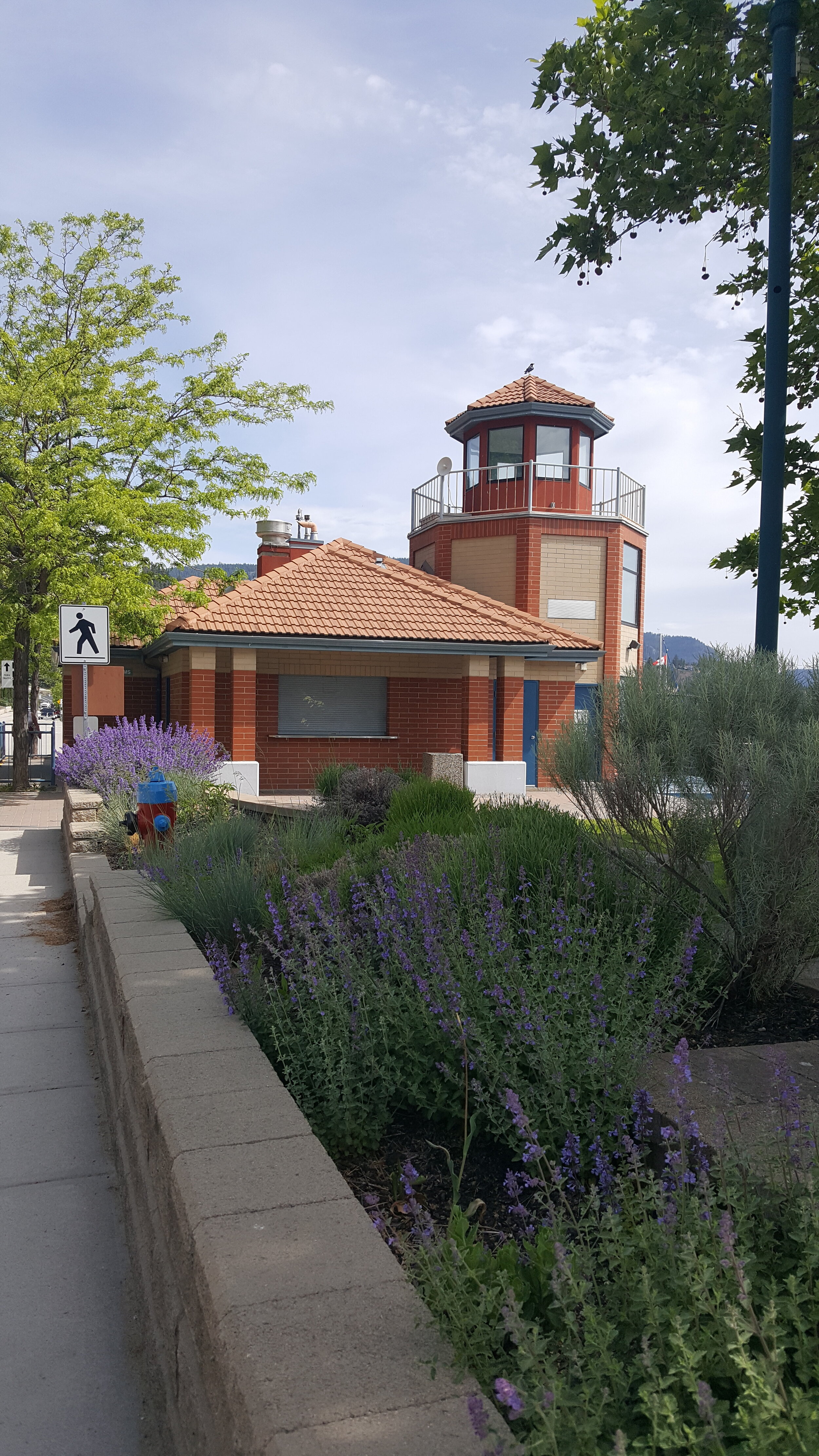
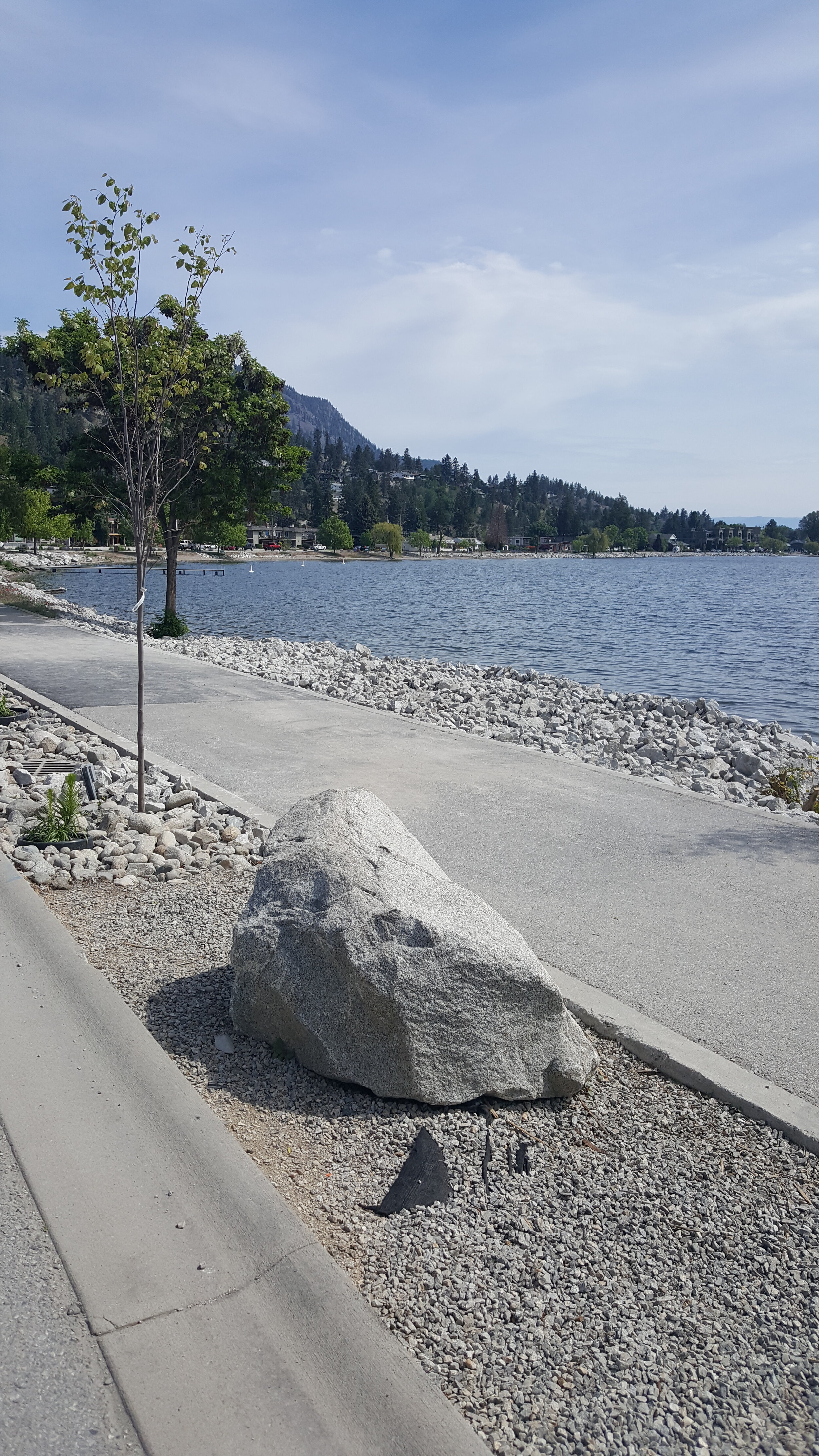
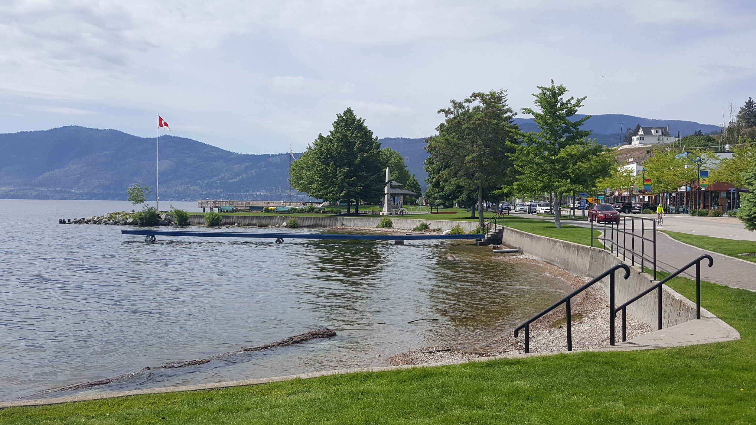
This route takes you through the charming lakefront community of Peachland. The only town in the valley that situates its small commercial downtown on the lake makes it a great place to stop and have a bite or a drink at one of its restaurants facing the water. There are weekend farmers markets on summer Sundays and several festivals during the year directly on the route, including the “World of Wheels” on the May long weekend that showcases hundreds of antique and modern cars. This route travels almost the full length of Peachland from north to south. The north end begins in a residential neighborhood before quickly descending onto the aptly named Beach Avenue. In the summer many visitors come here to spend the day at one of the many gravel beaches or on one of the many small public docks. The “downtown” includes a few shops, restaurants and a museum at the south end housed in a unique octagonal historic church. There is also the only public beach with a lifeguard on the lake – popular with families. At the intersection of Beach Avenue with Highway 97 there is a pedestrian tunnel under the highway. From there you ascend up Princeton Avenue, to Lipsett (look for the llamas who are often by the roadside at the north end of Lipsett), then down Heighway and Renfrew avenues to Hardy Falls Regional Park. In the fall check to see if the Kokanee are spawning in the creek or walk to the end to see Hardy Falls. The cool shade in the park is a great way stop before returning.

green line - Peachland Section; red line south Fur Brigade Trail; red line north Gap 2 Drought Hill
Google Maps Directions
(downloads to your Google Maps saved maps folder)
Trailforks Directions
Trail Length: 9.3 km one way
Trail Type: A mixture of paved multi-use pathway, designated on street bike routes, secondary roads and compacted gravel roadway. Most of the route is flat with elevation at the north and south ends. An e-bike makes climbing Renfrew and Princeton easier.