Section 6 - McAlpine Bridge to Osoyoos
Trail Section Description
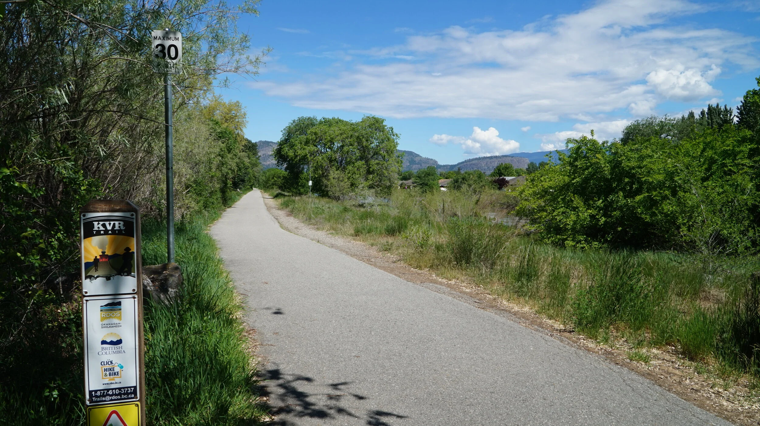
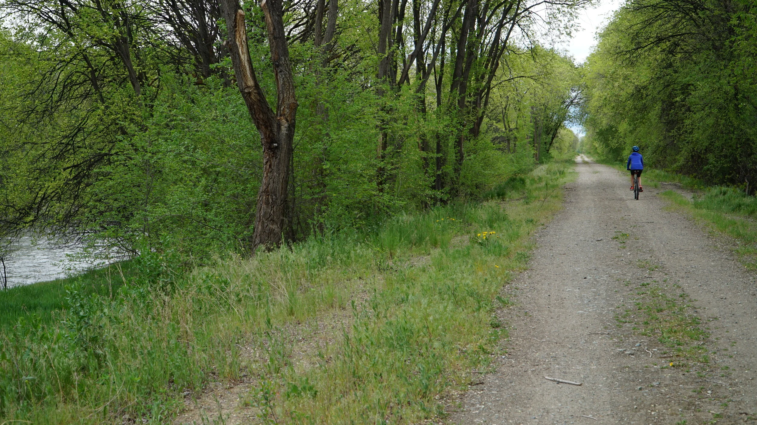
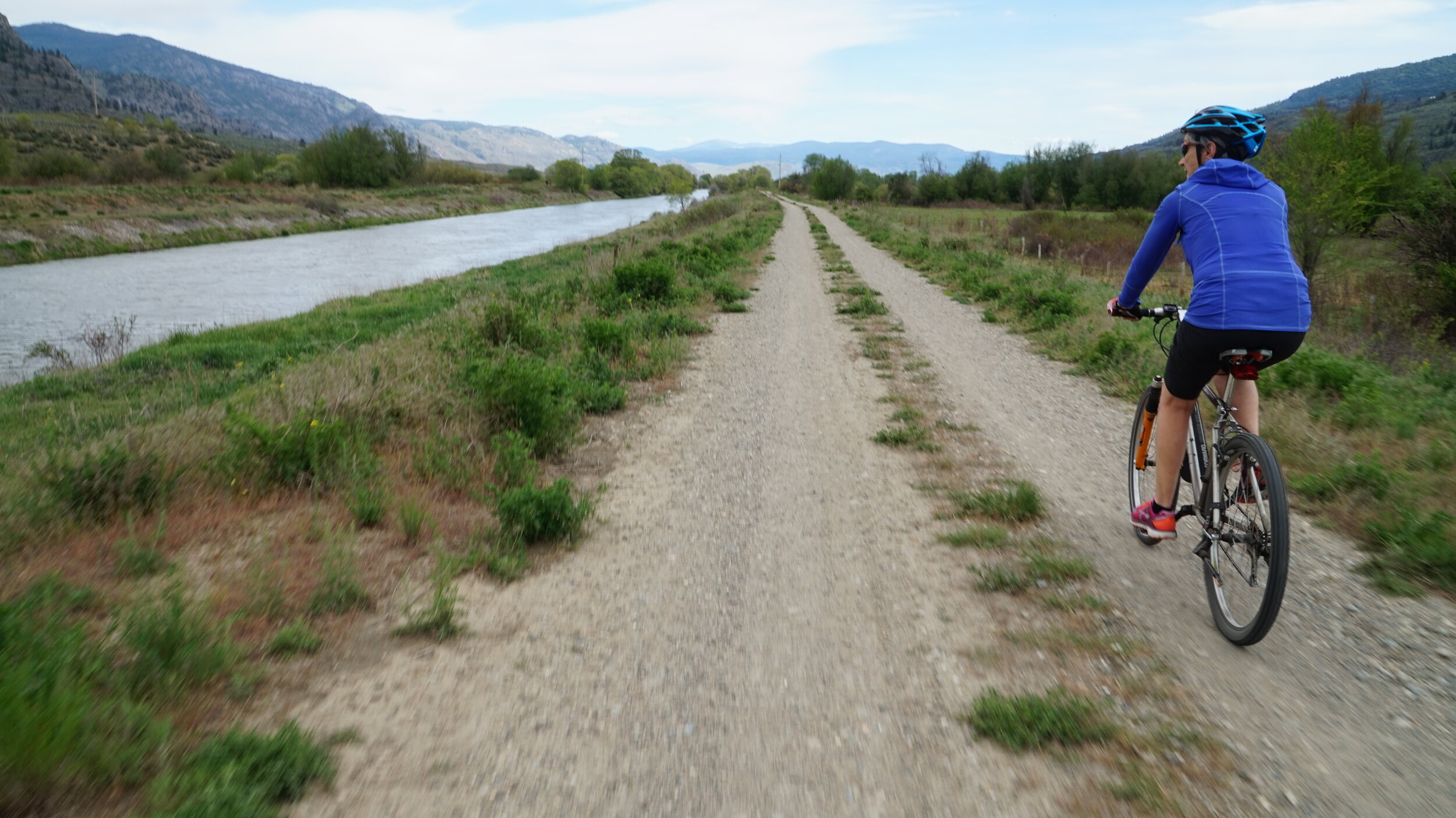
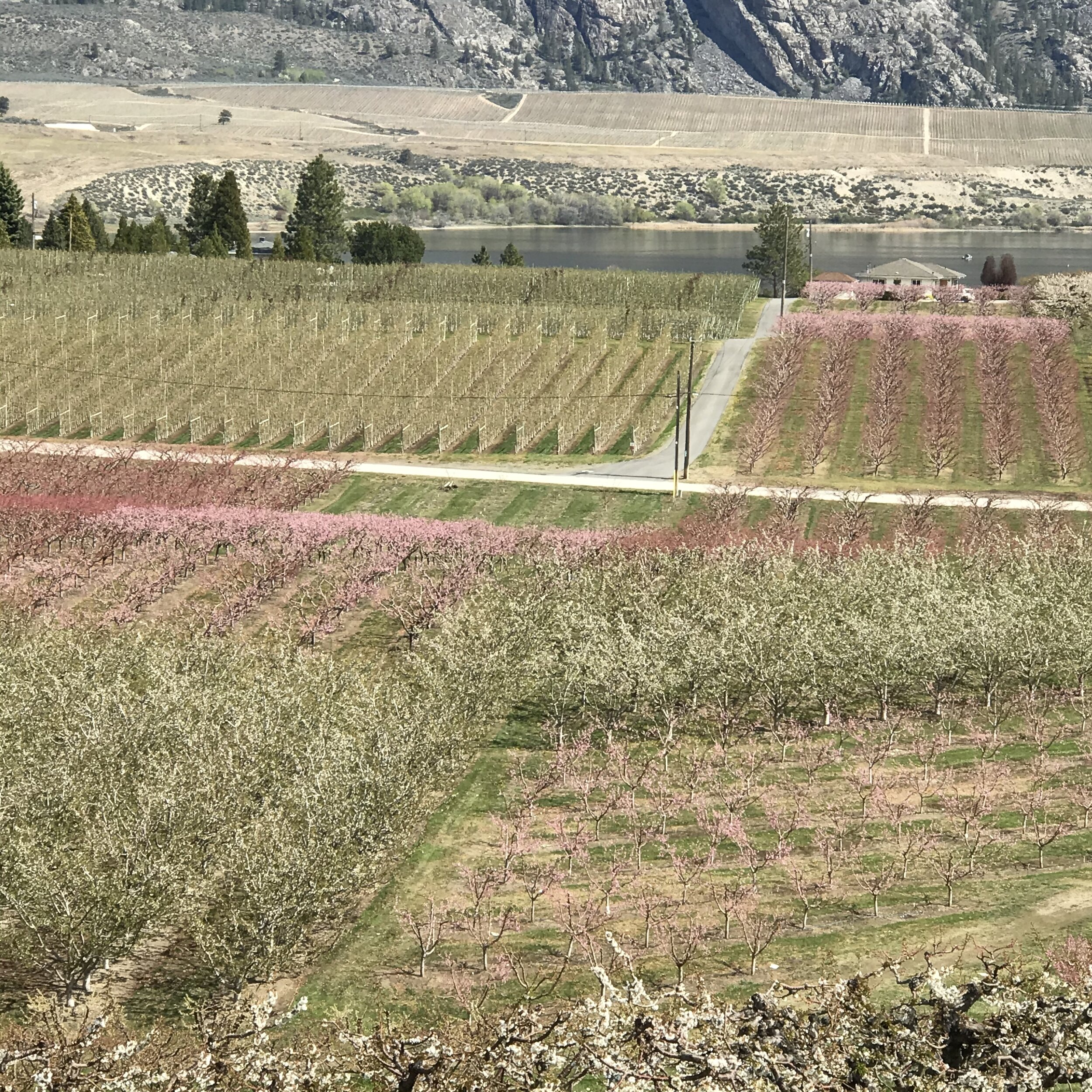
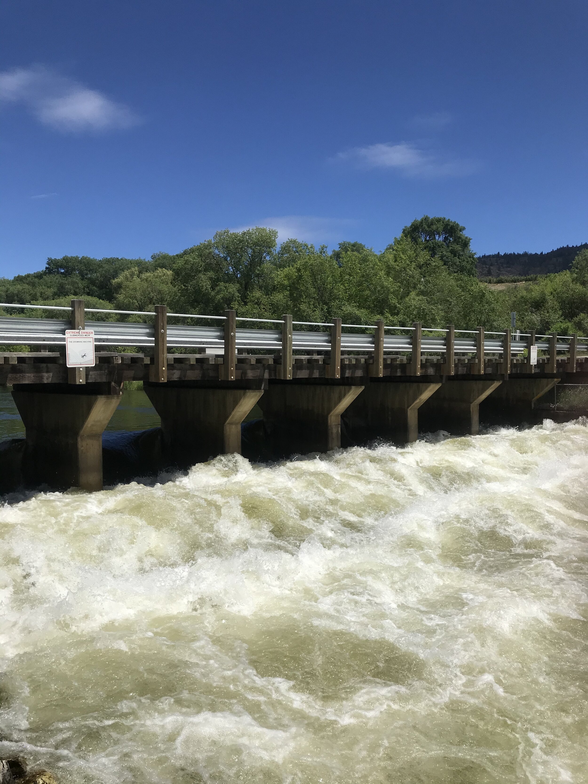
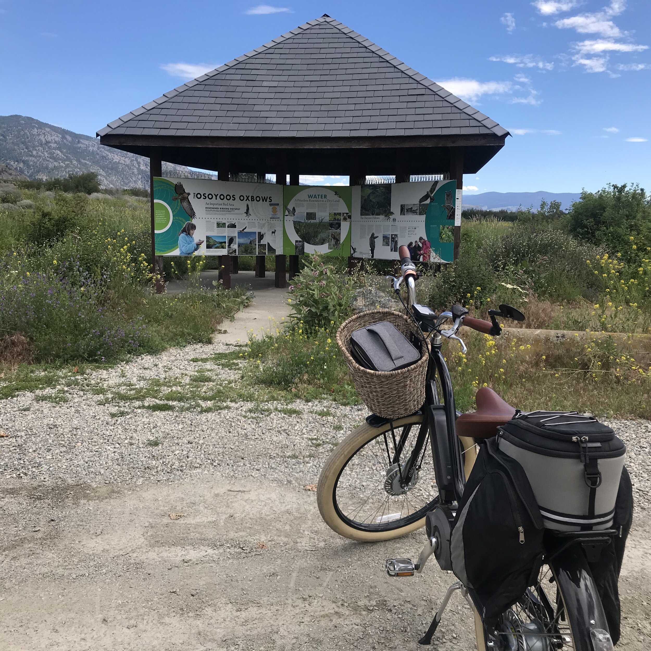
This section is approximately 28 km in length with a mixture of paved and gravel trail, side roads and short sections of Highway 97 at the south end. The north end of this section is located where Highway 97 crosses over Okanagan River at the McAlpine Bridge downstream of Vaseux Lake. Parking is available on the south side of the highway across from Jackson Triggs winery. Cross the bridge and the trail heads south on the west side of the river. Alternatively you could start in the Lions Park in Oliver and head north 4.8 km north to the McAlpine Bridge. South of Oliver the trail stays on the west side of the river and after 13 km reaches No. 22 Road. Head west for 900m and just before Hwy 97 the trail heads south parallel to Hwy for 1.9 km. At the end of the trail a short 900m section along Hwy 97 brings you to a left turn onto 91st Street. Follow this until it hits Hwy 97 again. Then after 300m south on the Hwy, a left turn takes you onto 87th street. Follow 87th until 92nd street, turn left again, then turn right onto Spartan Drive which takes you to the Lions Park in Osoyoos. Time for dip in the lake, some ice cream or some wine touring!

Google Map Directions
https://www.google.com/maps/d/edit?mid=1XJo321tgTD1chuDxL0iBQAaSbKR9pzCT&usp=sharing
(this map downloads to your Google - Saved - Maps folder)