Vaseux Lake - Gap E
Trail Section Description
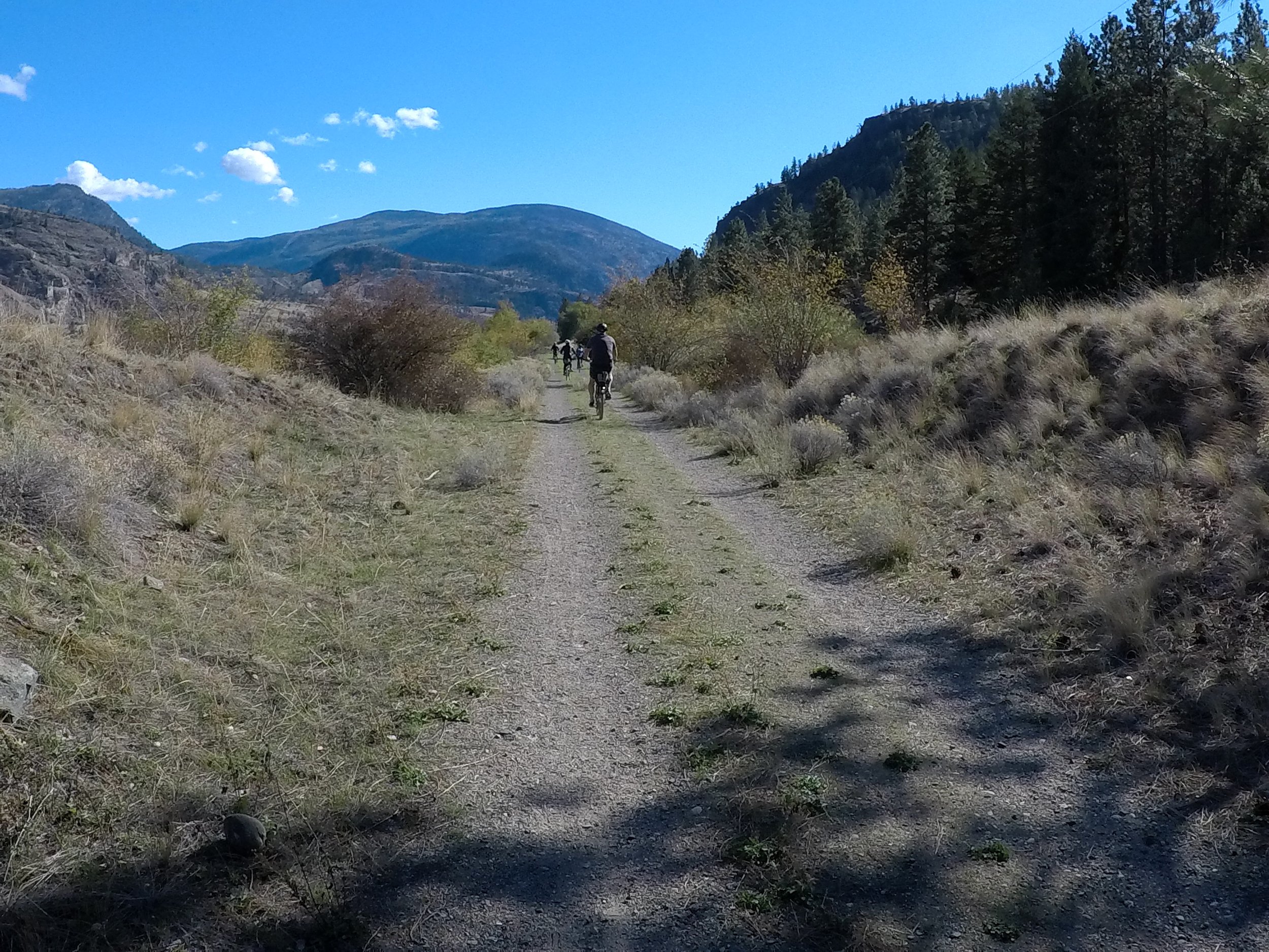
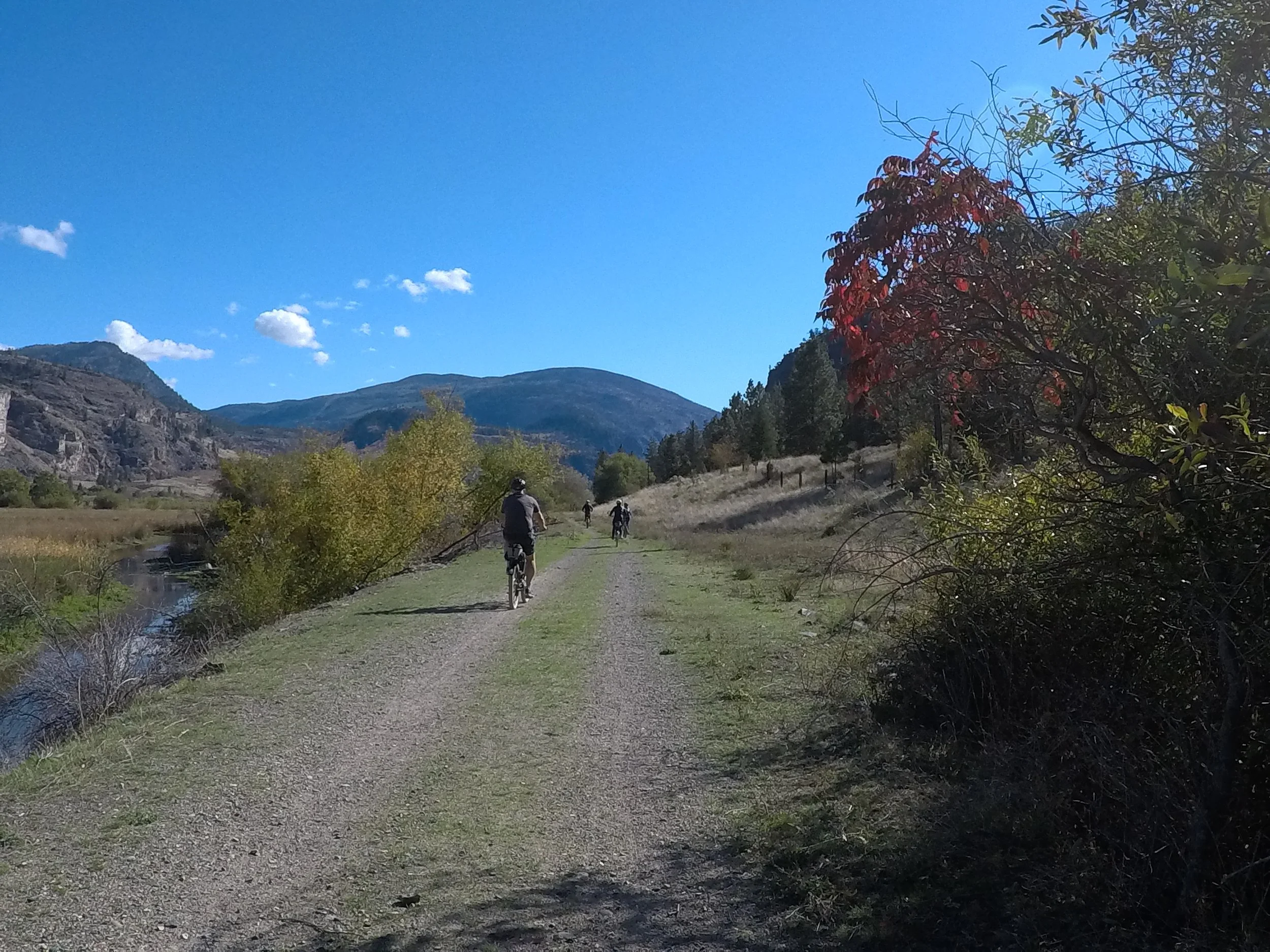
An old KVR spur line along the west shore of Vaseux Lake once connected Osoyoos and Oliver to Penticton. While the rail trail south to Oliver and north to Penticton are enjoyed today by many hikers and cyclists, the section along Vaseux Lake is closed due to concerns about habitat for animal and plant species in the Vaseux Lake area.
The Trail of the Okanagans Society has identified this section (red line on map) as a key component of the linear pathway from Osoyoos to Penticton and beyond. Diverting hikers and cyclists to the highway on the east side of Vaseux Lake, in our opinion, is not an option due to highway traffic and safety concerns.
Directions
At the present time there is no hiking or biking access along the west shore of Vaseux Lake or properties to the south. The International Hike and Bike trail from the south ends at McAlpine Bridge on Hwy 97. From the north the KVR ends at a Canadian Wildlife Service gate before the trail reaches the north end of Vaseux Lake. The red line on the map shows a conceptual route.
Our Actions
The Trail of the Okanagans Society continues to lobby local, provincial and federal authorities for a solution that works for recreation and nature. Become a member and add your voice to advocacy for hiking and biking pathways through the Okanagan! For updates on this section check out our news page.

Gap 6 Vaseux Lake West